Map Exhibit: 'Out of the Bindings'
April 2017 — Exhibit of Maps in Rare Books
Although map-making began more than a millennium ago, it was during the 16th to the 19th centuries that significant technological advances allowed maps to be more accurately rendered and easily reproduced. Maps became a perfect medium for documenting details of the scientific exploration proliferating during this period—exploration of places around the globe and of the flora, fauna, and people who inhabited them.
An exhibit in the library's special collections department—Out of the Bindings: Maps in Rare Books of the 16th—19th Centuries—allows visitors to explore the discoveries of explorers of that time through the maps published in their books. These maps reflect narratives from around the world—as wide-reaching as a map of the heavens, and as local as an agricultural survey of Suffolk, England. One example of the remarkable items on display is a 1798 map showing the Russian colonization of Alaska, identified then as “Alyazka,” that was published in Jean-Henri Castera’s The Life of Catharine II, Empress of Russia.
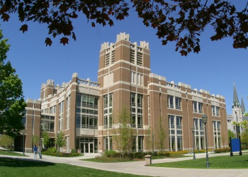
The exhibit will be on display through September, 2017, in Raynor Memorial Libraries’s third-floor Prucha Reading Room. It was created by the library’s Department of Special Collections and University Archives, whose rare book collection provides research and instructional access to historical editions of important works in history, theology, literature and other topics.
Planning to visit?If you would like to view the exhibit :
- Check our hours.
- View campus map and parking information.
If you have questions about the exhibit or the rare book collection, contact Amy Cooper Cary, Head of Special Collections and University Archives.
View additional events and exhibits at Raynor Memorial Libraries.

A “Leo Belgicus” map from a book by Famiano Strada, 1658.

